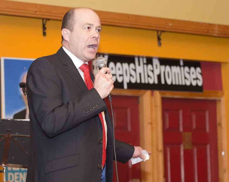
Minister Denis Naughten has authorised the Geological Survey of Ireland (GSI) to establish a groundwater/turlough flood monitoring programme, in conjunction with the OPW, which will study turloughs in Roscommon, Galway and Longford in unprecedented detail.
This work has commenced with the monitoring of current water levels within turloughs as well as historic analysis of rainfall and flooding. It will also include a geological aerial survey of the karst limestone/turloughs; the use of GSI survey boats on specific turloughs and engagement between the GSI and local authorities to assist with the submission of proposals to the OPW for flood relief funding.
Outlining the importance of the programme Minister Denis Naughten said: “This project will lead the way in assisting those communities which have been affected by devastating flooding over the past number of winters. An understanding of how these complex subsurface drainage systems work is crucial to managing the future events and to working to alleviate any further flooding.
“Turloughs are complex subsurface systems, and each one behaves differently. It is therefore crucial to develop a better understanding of their flooding patterns so that they can be managed more effectively.”
Koen Verbruggen, Director of the Geological Survey of Ireland, added:
“The GSI groundwater division has long been studying karst features, including turloughs, due to the critical role they play as potential pathways for pollution. This same approach and expertise can be readily enhanced, with additional resources and collaboration with Trinity College Dublin, to develop a monitoring programme and advisory service in relation to groundwater flooding.”
Approximately 20 vulnerable sites will have permanent water level monitoring stations installed. Data from the monitoring stations will be assessed to monitor, understand and delineate groundwater flooding in Ireland. Aerial surveys and satellite data will also be utilised to improve current groundwater flood mapping in hazard zones.

